
We’re back on the road, heading to Utah. Our route this time is via the Black Hills and Casper WY.
We haven’t camped in the Hills in a long time – preferring to stay in the Badlands instead – so an overnight in Custer State Park sounded like a plan. It’s an expensive plan though. Camping fee, reservation fee, out-of-state fee and a $20 entrance fee add up. But the wildlife drive is nice, so why not.
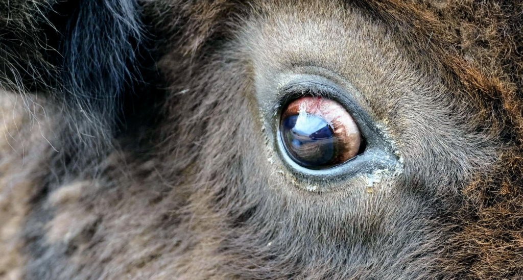
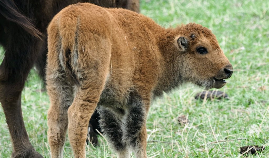
Custer State Park maintains a bison herd, so you get a closeup view of the big beasts right from your car seat.
The little beasts too.
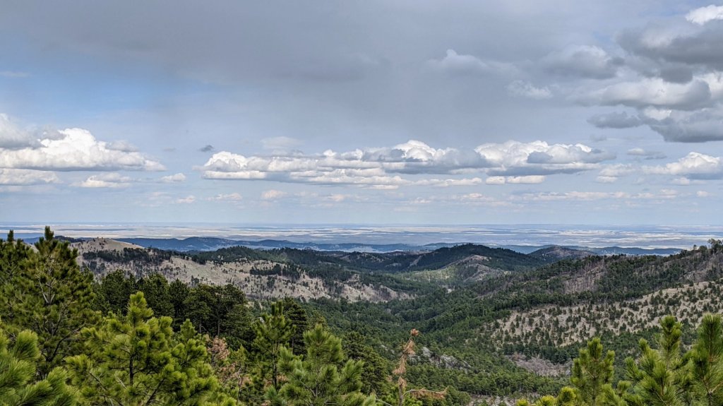
The park is just at the transition between the rolling hills of the western South Dakota prairie and the tree covered Black Hills. If you like grand views (or are claustrophobic) there are a few spots where you can see out onto the plains. At the very edge of the horizon is what appears to be the start of the Badlands.
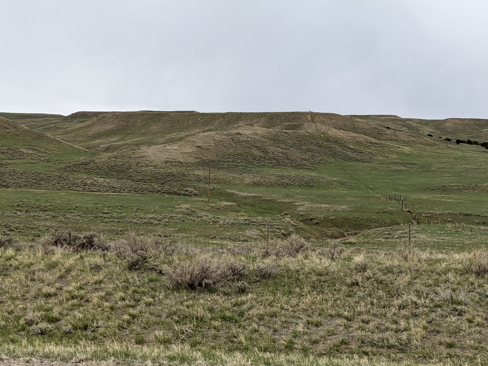
From the Hills we headed straight west though the Thunder Basin National Grassland. The landscape is mostly range land and ranches, interspersed with oil wells.
The feature attraction for some would be the largest open pit coal mine in North America. You can’t see into the pits from the road, so no pics of the mine.
Our target is the San Rafael Swell in the Castle Dale/Huntington area, where hope to get out to the Wedge Overlook.

Leave a comment