
We were in Louisiana a year ago on what ended up being a swamp tour. This year we’re back in the same area, partially because it’s so different from other parts of the country, and partly because it’s one of the few places east of California that is not expected to get too far below freezing this weekend.
Rather than writing about swamps again, I figured I should post a bit about a couple of the interesting things we saw when we decided to drive to the end of the road (literally).
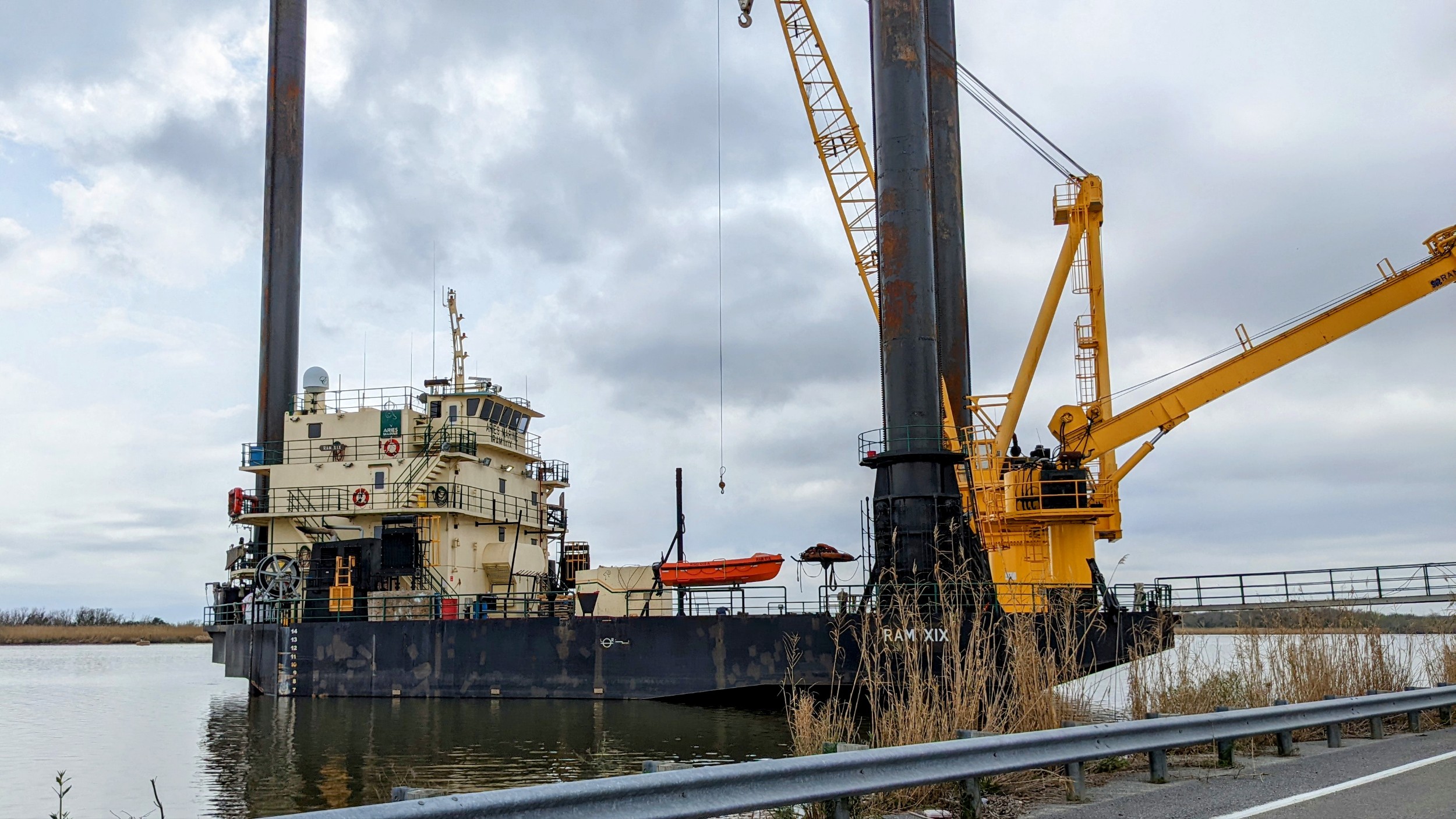
We set off towards the gulf on likely roads, using only an old road atlas. After several dead ends we found a road that looked like it would head to the gulf. At the end of the road we found a harbor supporting fishing and oil extraction.

No sunny beaches. No tourists. 🙂
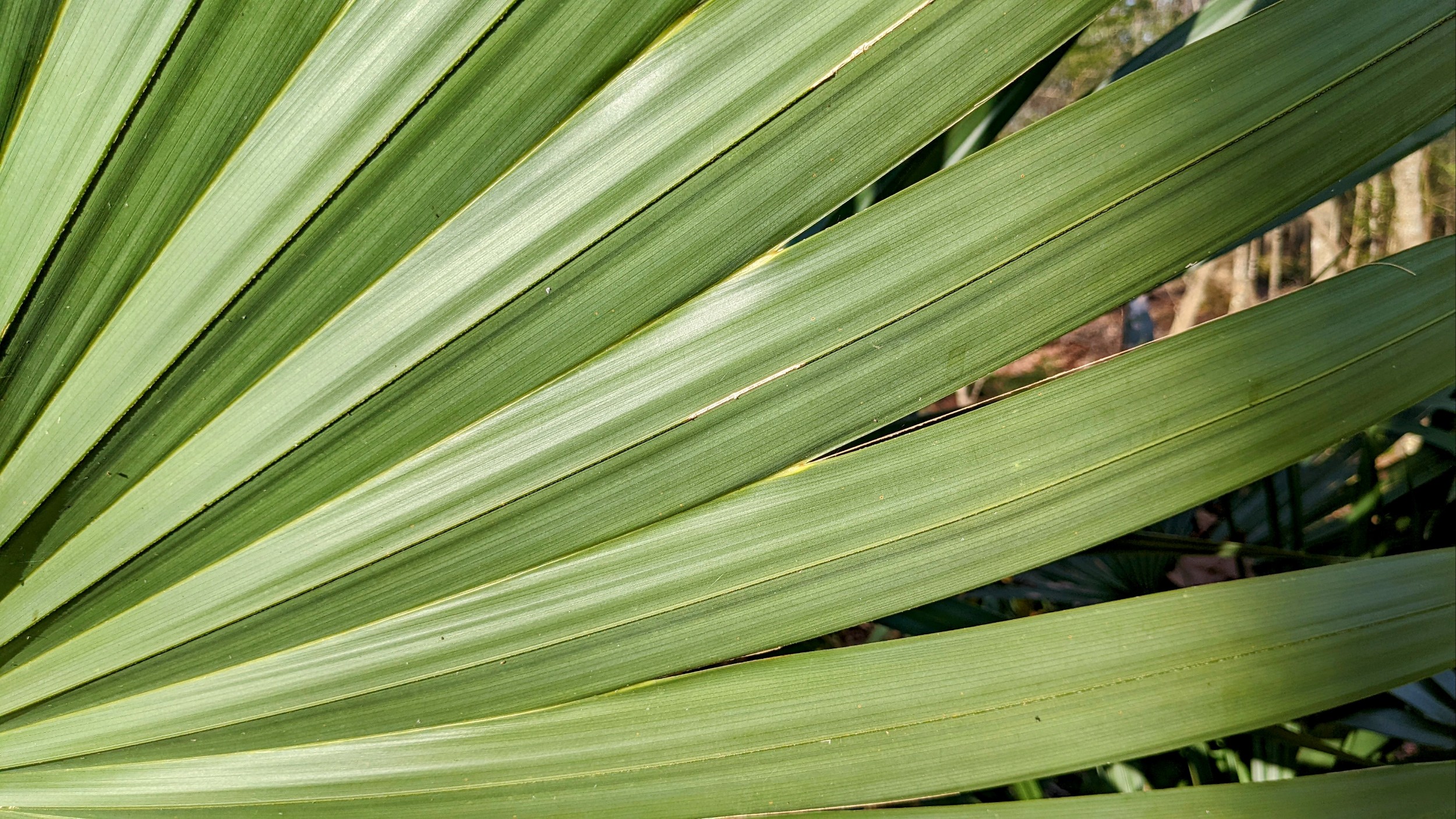
Broad, beautiful trees aren’t hard to find down here, nor are palmetto’s and little gecko/salamander things.


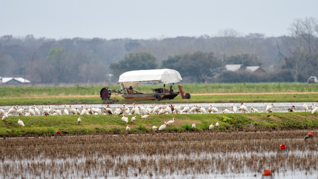
And it’s obvious that we are back in crawfish and rice paddy country. The ibis were having a feast. I’m not sure what they eat. Perhaps they’re eating the farmers crawfish?
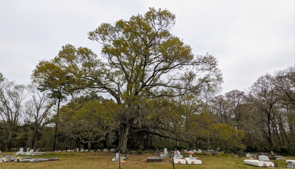
The cemetery in the caption photo was beautiful. But when looking at the grave sites, I noticed what seemed like disproportionate numbers of graves of late middle aged (50’ish) and children. I don’t know if that means anything or not.
While wandering around trying to find a grocery store our Google copilot sent us through what had to be the poorest part of the poorest part of a poor town. I’ve been through poor areas – Pine Ridge, parts of N. New Mexico, the rural area straddling the Arkansas-Louisiana border, etc. Something about this part of this town was different, but I don’t know what.
This isn’t a post about swamps … but on our way south we spent some time in the Atchafalaya basin between Baton Rouge and Lafayette. The basin is claimed to be the largest swamp in the nation, covering an area 140 miles long by 20 miles wide. Not sure how the Everglades feels about that claim.
There is an ‘Atchafalaya National Wildlife Refuge‘ on the map, but the US Fish & Wildlife web site didn’t have much info on it. Between Garmin and Google, we drove around quite a bit before finding an entry point and even further to find a trail to hike. It’s apparently surrounded by Louisiana’s Sherburne WMA, so searching that rather than Atchafalaya NWR might help.
We found it to be undeveloped, with few trails, and oriented towards hunters, not tourists. We ended up camping in the Atchafalaya basin at Lake Fausse State Park.

Leave a comment