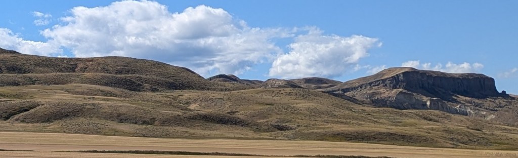
Missouri Breaks
I wanted to tour the core of the Missouri Breaks National Monument. From what we can figure, one would need to either canoe/raft the Missouri downstream from somewhere around Fort Benton, or have a fairly capable off-road vehicle. The ranger at the visitor center suggested that the road through Judith Landing was passable with our campervan, but most of the rest were rough enough to need high clearance and were susceptible to impassibility after rain. We mostly stuck to paved roads, so were only able to skirt the edges of the Monument.
Might have to come back here with a more capable vehicle. This campervan isn’t happy on rough, unimproved trails.
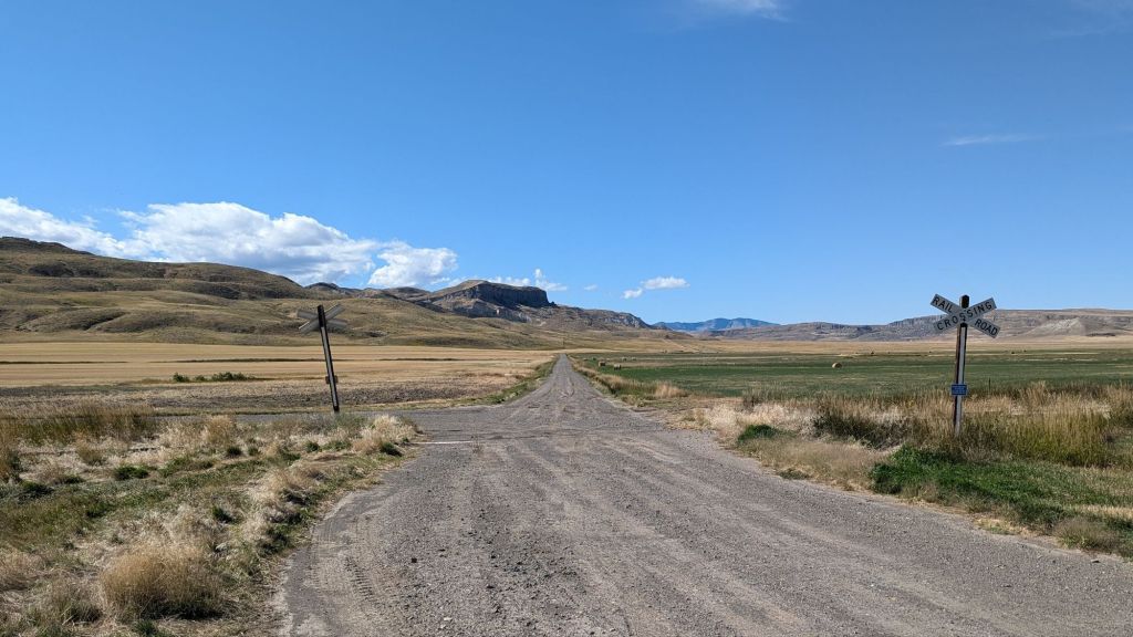
Mission Canyon
On the way back east we checked out a dot on the map called ‘Mission Canyon’ near Hays, Montana. It’s a small, narrow canyon that the Fort Belknap Indian Community has made accessible via a well-maintained road following the canyon bottom up to their pow-wow grounds. The Community is the home of the Nakoda (Assiniboine) and Aaniih (Gros Ventre) Nations.


A nice diversion.
On our way back east we stopped at the Bowdoin National Wildlife Refuge & chilled out watching thousands of ducks feeding in the refuge ponds and lakes.
Another nice diversion.
Range Anxiety
I knew that facilities (gas, fresh food) might be sparse in this part of the country. I got an idea how sparse when we were camping near the James Kipp Recreation Area and planned on spending a day in Fort Benton.

Starting with a full tank in Malta, we’d burned gas getting from Malta to James Kipp & touring around the wildlife refuge and national monument. Mileage was poor because of the ever present wind & the slow going on dirt & gravel roads. From Kipp to Ft. Benton was barely doable without filling up, provided we didn’t get sidetracked. I didn’t want to run out of gas in a place where the nearest fill up is 70 miles away, so we ended up playing it safe and detouring down to Lewiston just to top off the tank.
It would be tough to tour areas like this in an EV.

Leave a comment